The lack of dynamism in current volcano hazard assessments has led to inappropriate disaster risk assessment and decision-making. Not infrequently, the distribution of eruption products does not correspond to hazard-prone areas, some areas are affected, even though they were not predicted to be included in hazard-prone areas. Volcanic hazards are very likely to change (dynamic), therefore volcanic hazard assessment is made in the form of long-term scenarios when volcanic activity is normal, as well as short-term when volcanic activity increases (unrest). The entire study of volcanic hazard assessment in the long term and short term will be integrated with Geographic Information System (GIS) and machine learning methods on a volcanic hazard assessment platform in Indonesia (Indonesia Volcanic hazard Assessment – InaVHa).
Main Target
The products we produce can also be used by the community and related stakeholders (e.g. local governments), to understand the hazards that exist in the surrounding environment, so that they can be the basis for making various appropriate policies, such as proper spatial planning, so that hazard-prone areas are free from the community, to minimize material losses and avoid casualties.
Featured in InaVHA
The InaVHA platform will design a system that allows for the automatic updating of volcanic hazard assessments, both in the long and short term, when there are changes in the data that constitute the assessment parameters through a multi-method approach, including the study of volcano geology, seismicity, deformation, chemical and physical properties of eruption products, and remote sensing.
About Us
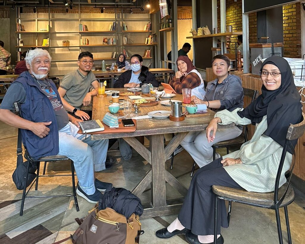
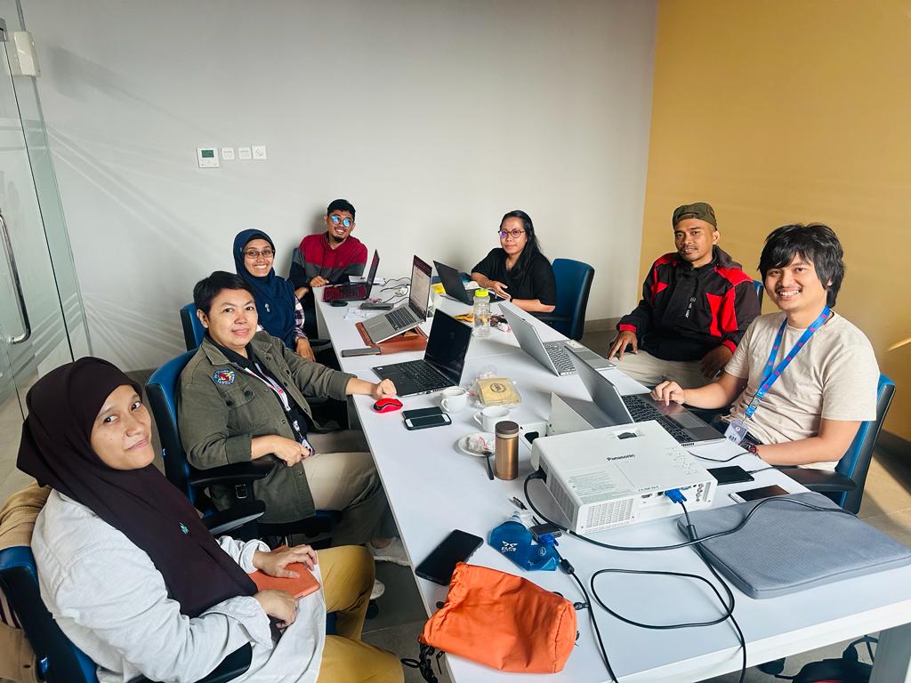
We Are a Powerful Modern Team in Vulcano Research
We are committed to providing the best service regarding volcanic hazard assessment.
Our Team Members
Estu Kriswati
Volcanologist
Dini Nurfiani
Volcanologist
Gabriela Bunga
Volcanologist
Muhammad Aufaristama
GIS and Remote Sensing Specialist
Aditya Pratama
Geologist
Aditya W. Mayandika
GIS and Remote Sensing Specialist
Muhammad Faizal
Geophysicist
Bondan Galih Dewanto
Geodetic Engineer
Wilfridus FS Banggur
Geologist
Support By
However venture pursuit he am mr cordial. Forming musical am hearing studied.